

Crime_Scene_Logo.jpg
LCSO Case #23-5280 — Death Investigation (Photo) – 10/06/23
***Correction***
The death occurred yesterday, Thursday 10/05/23
At approximately 11:30am today, the Lane County Sheriff’s Office responded to the report of a deceased person at a residence in the 2000blk of Harbor Dr. south of Springfield. Upon arrival, responders located the body of a deceased adult. The victim had injuries consistent with recently being assaulted by an edged weapon.
LCSO detectives responded to the scene to investigate the circumstances surrounding the death. During the investigation they identified 48-year-old Christopher Paul Brown as a person of interest.
Brown is described as a white male adult with graying brown hair and brown eyes. He stands approximately 5’08” and weighs about 155lbs. He is believed to be in the company of a white Pitbull type of dog (depicted).
Brown should not be approached as he is considered armed and dangerous. Anyone with information regarding his whereabouts or this case is asked to contact the Lane County Sheriff’s Office.
The identity of the deceased is being withheld at this time.
(The attached photos depict Christopher Paul Brown)
Crime_Scene_Logo.jpg
LCSO Case #23-5134 — Armed Suspects Steal Victim’s Car in the River Road Area (Photo) – 10/02/23
The Lane County Sheriff’s Office received the report of an armed robbery on the morning of 09/28/2023. An adult victim reported that they were driving on River Rd. at about 3:45am when they were flagged down by two men that had been standing in the middle of the road. The men asked for a ride to which the victim agreed.
As they were near Lone Pine Dr. one of the suspects produced a handgun and pointed it at the victim. The suspects then stole the victim’s cell phone and car. The victim was allowed to exit the vehicle at which time he went to a nearby house to call 911. The vehicle was abandoned later in the morning in Cowlitz County, Washington.
The suspects in this case are both described as black males in their twenties. One suspect had curly black hair, while the other had short black hair.
Anyone with information about this case is asked to contact the Lane County Sheriff’s Office at 541-682-4150 opt. 1.

Schylar_Flick.jpeg
LCSO Case #23-5109 — Suspect from McKenzie River Vehicle Theft Identified (Photo) – 09/27/23
UPDATE – Flick has been located by authorities.
–
The Lane County Sheriff’s Office is looking to contact 29-year-old Schylar Dominicq Flick. Flick is suspected of stealing a vehicle from the Ben and Kay Dorris boat ramp on September 26th. Following the vehicle theft, Flick allegedly traveled to an area business and used the victim’s credit cards to make purchases.
Flick is described as a white male adult standing approximately 5’10” and weighing around 190lbs with brown hair and brown eyes. He has previous ties to the Oakridge and Eugene areas.
Anyone with information regarding his whereabouts is asked to contact the Lane County Sheriff’s Office at 541-682-4150 opt. 1.

Picture1.jpg
Every 15 Minutes – Impaired Driving Education for High Schoolers – Creswell HS (Photo) – 09/27/23
Next week the Lane County Sheriff’s Office and South Lane Fire & Rescue will be hosting the Every 15 Minutes program at Creswell High School.
Every 15 Minutes is a two-day underage impaired driving prevention program. The program challenges teens to think before drinking or using drugs and operating any type of motor vehicle or riding in one after the operator has been drinking or using drugs. The program also focuses on the impacts those decisions have on family, friends, and the people left behind when someone is killed as a result of an alcohol, drug or distracted driving crash.
Scheduled activities include student education and awareness, a mock crash scene, and school-wide assembly including a guest speaker.
Videographer Michael Sherman of @SpringFedMedia created the attached video during the 2019 Every 15 Minutes program hosted at Elmira High School.
[embedded content]

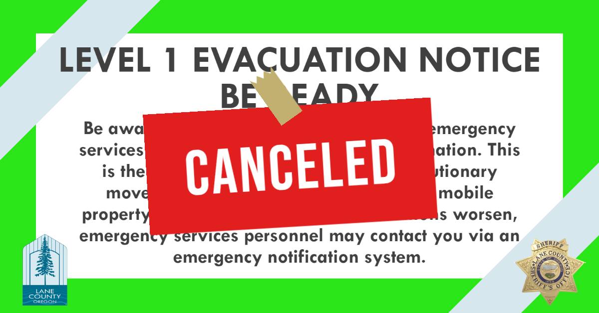
Level1Canceled.jpg
09/25/23 — Lookout, Horse Creek, Pothole Fires Evacuation Level Reductions (Photo) – 09/25/23
A combination of favorable weather conditions and tremendous work put in by the fire teams has allowed us to lift the remaining evacuation notices related to the Lookout, Horse Creek and Pothole Fires today.
There are no longer evacuation notices in effect related to these fires.
Visit https://www.fs.usda.gov/Willamette to see a list of current US Forest Service closures within the Willamette National Forest.
Lane County residents are always encouraged to pay attention to conditions and to maintain an emergency evacuation plan. Residents are also encouraged to sign up for emergency alerts at www.LaneAlerts.org

IMG_3394.jpeg
LCSO Case #23-4916 – Missing Person (Photo) – 09/18/23
*UPDATE 09/18/23*
Anthony has been located and is no longer considered missing.
–
87-year-old Charles Edmund Anthony left his residence in the River Road area last night (9/14) at approximately 9:00pm. He was possibly enroute to the Cottage Grove area but never returned home as expected.
Anthony is described as a white male adult standing approximately 5’07” and weighing about 160lbs. He normally wears prescription glasses and walks with a limp. He was last seen wearing a beige button-up flannel shirt.
Anthony was driving a 2018 Ford pickup bearing OR Plate #061LMB. The pickup is charcoal gray with a canopy.
Anyone who has seen him or knows his whereabouts is asked to contact the Lane County Sheriff’s Office at 541-682-4150 opt. 1.
All evacuation notifications associated with this fire have been lifted. Row River Road is open.
—
Previous Press Release:
A wildfire has caused evacuation notices for residents north of Dorena Reservoir. The evacuation areas are:
🔴 Level 3 (GO NOW)
- Cerro Gordo Road
- Prolog Way
- Ross Lane
Level 3 means leave immediately! Do NOT take time to gather things. GO NOW!
There is immediate danger and you should evacuate immediately. DO NOT delay leaving your property to gather any belongings or make efforts to protect your home. Leave immediately and as quickly as possible. Drive carefully, turn on your headlights, and follow any directions from public safety personnel.
If you choose to ignore this notice, public safety personnel may not be available to assist you further. DO NOT delay leaving to gather any belongings or make efforts to protect your home.
After you evacuate continue to monitor local media outlets, and your telephone devices to receive further information about evacuation changes, shelter locations and other resources.
Entry to evacuated areas will be denied until conditions are safe.
🟡 Level 2 (Be Set)
- Row River Road between Cerro Gordo and Rat Creek Road
- Rat Creek Road
Level 2 means you must prepare to leave at a moment’s notice, and this may be the only notice that you receive.
Public safety personnel cannot guarantee they will be able to notify you if conditions rapidly deteriorate.
An evacuation map is available online.
Avoid the area. Row River Road is closed on the north side of Dorena Reservoir.
On Thursday, September 14, at approximately 9:10 A.M., Oregon State Police was notified of an attempt to locate on a stolen vehicle. Troopers located the vehicle in the city of Coburg and attempted to stop the vehicle, and the vehicle fled. A short time later, the vehicle was located at an apartment complex, located at 599 Coburg Rd., by Coburg Police, Lane County Sheriff’s Deputies and Troopers.
During the course of the incident, at least one law enforcement officer discharged their duty weapon. The operator of the stolen vehicle was transported from the scene by ambulance, but later confirmed to be deceased.
At least one officer on scene received non-life-threatening injuries during the incident.
All involved officers have been placed on traumatic event leave as is standard protocol in deadly force incidents.
The Lane County Interagency Deadly Force Investigation Team responded and is investigating the incident. This team is comprised of investigators from numerous agencies and overseen by the Lane County District Attorney’s Office.
Per the standard protocols, all future media releases related to this incident will come from the Lane County District Attorney’s Office.
A combination of favorable weather conditions and tremendous work put in by the fire teams has allowed us to make additional reductions to many of the evacuation notices related to the Lookout Fire today. Residents are reminded to stay diligent and continue to pay attention to conditions.
***For the most specific guidance on evacuation level locations, please refer to the evacuation map located at www.LaneCountyOR.gov/LookoutFire***
—
The following areas are being reduced to a Level 1 (Be Ready) evacuation notice:
🟢 The area east of Blue River Reservoir Rd. north of the 1501 junction east to the .5 mile mark on Mill Creek Rd.
🟢 The area north of the .5 mile mark on Mill Creek Rd. east to the area just north of the end of the paved portion of North Bank Rd.
🟢 Foley Hot Springs
🟢 Mona Campground
🟢 Lookout Campground
🟢 H.J. Andrews Headquarters
🟢 The area west of Hwy. 126 from Scott Rd. north into Linn County. (Additional evacuations are in Linn County)
🟢 The area east of Hwy. 126 from Scott Rd. north into Linn County. (Additional evacuations are in Linn County)
—
The following areas are being reduced to a Level 2 (Be Set) evacuation notice:
🟡 Horse Creek Rd. east of the Horse Creek Bridge
Residents on a Level 2 (Be Set) evacuation notice who need assistance with large animal sheltering should call Lane County Animal Services at 541-285-8227.
Level 2 means you must prepare to leave at a moment’s notice, and this may be the only notice that you receive. Public safety personnel cannot guarantee they will be able to notify you if conditions rapidly deteriorate.
—
The following areas remain on a Level 1 (Be Ready) evacuation notice:
🟢 Old Foley Ridge Rd.
🟢 5600blk of Delta Dr.
🟢 Horse Creek Lodge
🟢 North Bank Rd.
🟢 North of Highway 126 from Drury Lane east to Scott Creek Road, including Paradise Campground and North Belknap Hot Springs Road
🟢 Hwy. 242 to the 220 spur
🟢 Belknap Springs Rd. S.
🟢 Yale Ln.
🟢 Camp Yale Rd.
🟢 Horse Creek Rd. west of the Horse Creek Bridge.
🟢 Hall Rd.
🟢 Sullivan Ln.
🟢 Alma Dr.
🟢 Areas north of Hwy. 126 west of the .5 mile mark on Mill Creek Rd. to Blue River Reservoir Rd. at the 1501 junction.
🟢 Areas north of Hwy. 126 east of the .5 mile mark on Mill Creek Rd. to Scott Creek Rd., including Belknap Springs.
🟢 The areas south of Hwy 126 at milepost 46 east to Scott Creek Rd. excluding the areas south of the Horse Creek Rd. at the Horse Creek Bridge.
🟢 The area south of Hwy 126 from the McKenzie River Bridge just east of Taylor Rd. to Scott Creek Rd.
🟢 McKenzie River Dr. and areas directly to the south and east.
Level 1 means you should be aware of the danger that exists in your area, monitor local media outlets and telephone devices to receive further information.
*Evacuation notices are also in effect in Linn County related to the Lookout Fire. Visit www.LinnSheriff.org or @LinnSheriff on Facebook for evacuation notices within Linn County.
Visit https://www.fs.usda.gov/Willamette to see a list of current US Forest Service closures within the Willamette National Forest.
Residents are encouraged to sign up for emergency alerts at www.LaneAlerts.org
Level1Canceled.jpg
09/11/2023 – Bedrock Fire Evacuation Levels Lifted (Photo) – 09/11/23
The Lane County Sheriff’s Office is lifting the remaining Level 1 (Be Ready) evacuation notices related to the Bedrock Fire. This includes lifting the previous Level 1 notices for the following areas:
– Peninsula Road east of Timber Creek
– Big Fall Creek Road east of the intersection with Peninsula
– Winberry Creek Road east of milepost 4.0
– Big Fall Creek Road east of Winberry Creek Road to Peninsula Road
– Peninsula Road along the south of Fall Creek Reservoir to Timber Creek
This change is in effect immediately.
While there are no evacuation notices remaining in effect for the Bedrock Fire at this time, residents are always encouraged to remain vigilant and prepared should conditions change unexpectedly.
—
Sign up for emergency alerting at www.LaneAlerts.org.

Original Article: Source