
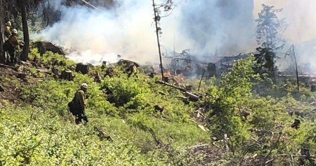

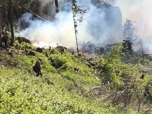
WALLA WALLA — As fire management officials prepare for spring burning in the Blue Mountains, the U.S. Forest Service has released an interactive map that tracks planned burns in the Malheur, Umatilla and Wallowa-Whitman National Forests.
The map shows spring burns are being considered near Little George in Washington and Tiger Creek and Alder Creek in Oregon in the Umatilla National Forest.
Original Article: Source